Map Analysis
Thursday, July 14, 2011
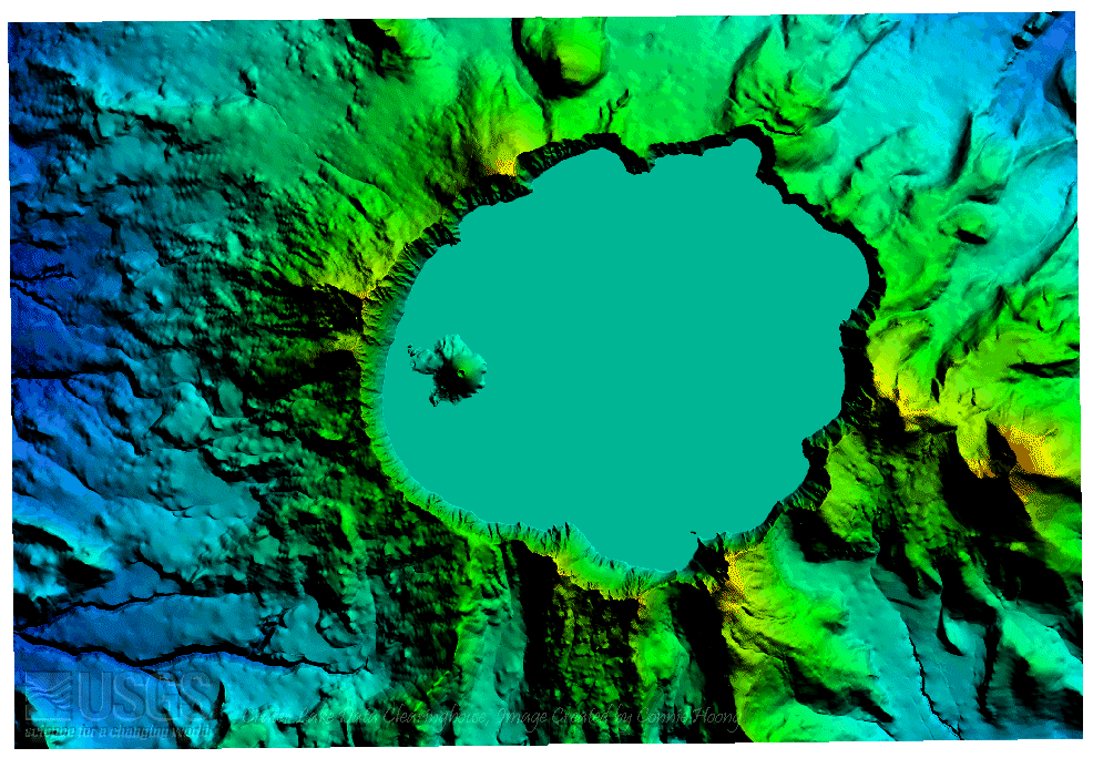
DEM Map
http://oe.oregonexplorer.info/craterlake/dlgv32.html
This is a Digital Elevation Model of Crater Lake National Park. DEM's are
digital models or 3-D representations of a terrain's surface
The lower elevations are darker colors and the higher elevations are lighter colors.
No comments:
Post a Comment
Newer Post
Older Post
Home
Subscribe to:
Post Comments (Atom)
No comments:
Post a Comment